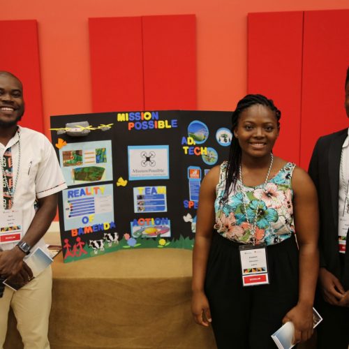
Mission Possible uses electromagnetic induction tools and 3D drone mapping to provide smallholder farmers with soil analysis and land profiling information, as well as planting, harvesting, and marketing advice. With a better understanding of their soil, farmers can better predict environmental behaviours and leverage improved technique to increase crop yields.

RESOLUTION PROJECT
Mission Possible


